


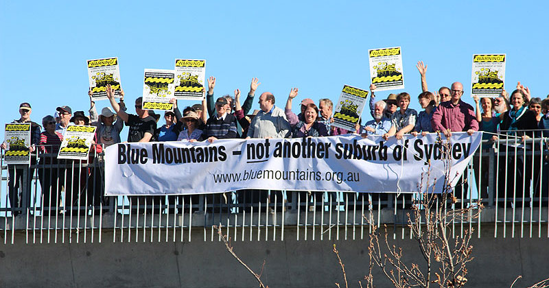
 Blue Mountains - not another suburb of Sydney (Rob Linigen)
Blue Mountains - not another suburb of Sydney (Rob Linigen)2024 Proposed Housing Reforms
maps
A map has been created for each of the 18 Blue Mountains villages affected by the proposed housing reforms.
maps
 Katoomba
Blue Mountains land is zoned from Local Environment Plan 2015. E1, E2, R1, R2 & R3 zones are affected.
The maps show the approximate 400m and 800m areas around railway stations and town centres.
Click the map to see a pdf version.

 Mount Victoria
 Blackheath
 North Katoomba
 Leura
Leura Wentworth Falls
 Lawson
 Hazelbrook
 Woodford
 Faulconbridge
 Springwood
 Winmalee
 Warrimoo
 Blaxland & Blaxland East
 Mt. Riverview
 Brooklands Village
 Glenbrook
© 2026 Blue Mountains Conservation Society Inc.
If you'd like to give feedback about this page please contact: webmaster@bluemountains.org.au
We acknowledge the traditional custodians of this land
the Darug and Gundungurra people
and pay respect to their Elders past and present.